Adventure · May 2025 · Sierra Nevada
Cherry Canyon Overlanding
A rugged line through granite slabs, lingering snow, and moving water in Cherry Canyon. The terrain view is generated from elevation data, with the original 22-mile GPX track laid directly across it.
The route
Cherry Canyon in relief
Drag to orbit · Scroll to zoom
Building the terrain from elevation tiles…
Route from the supplied GPX track · Terrain rendered with MapLibre
Field notes
Granite and water
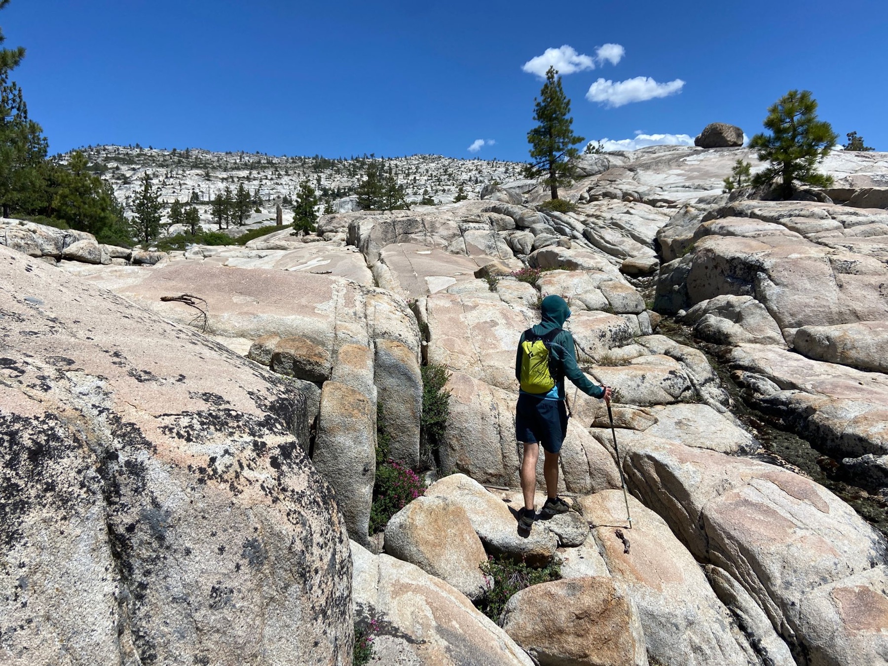
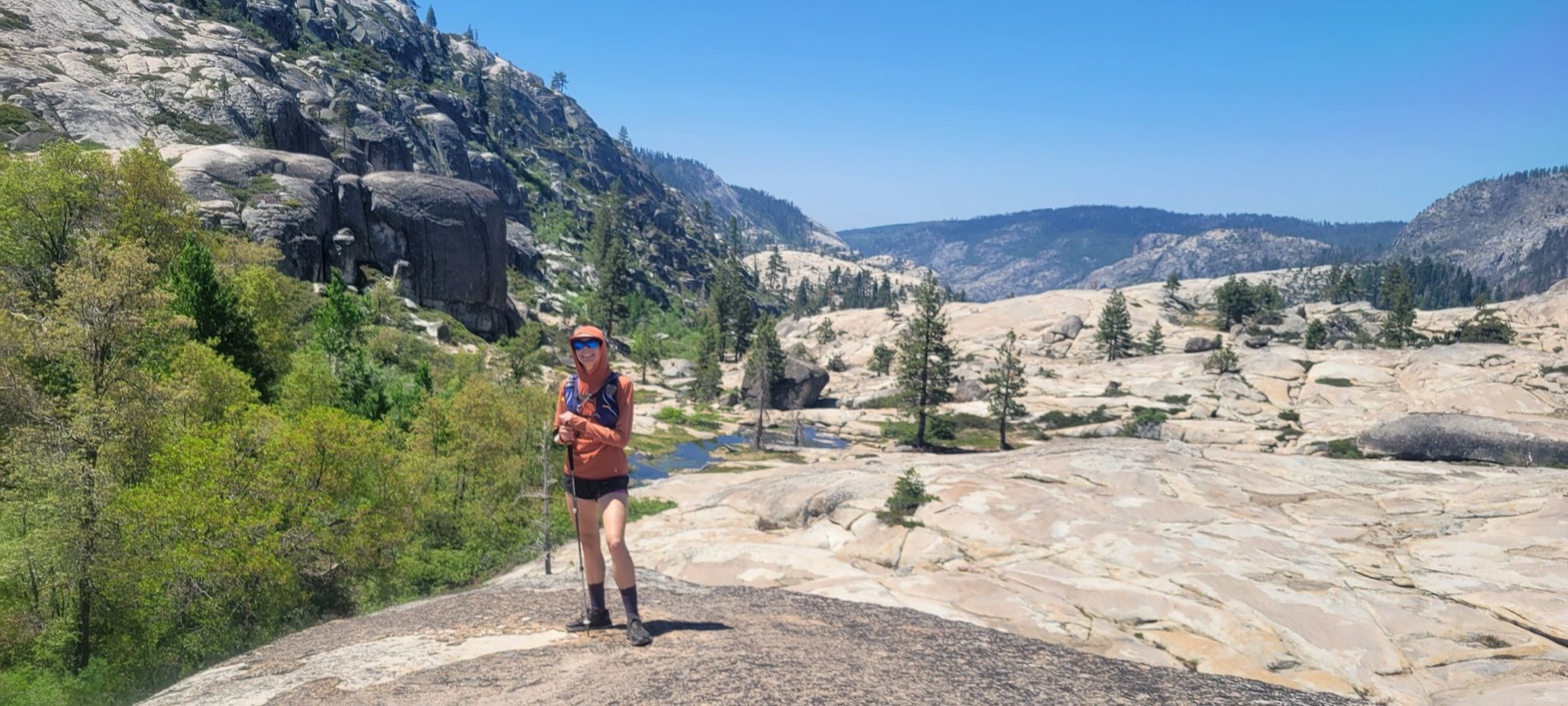
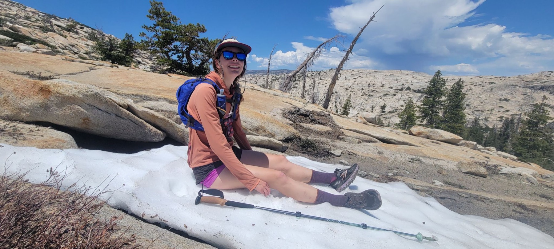
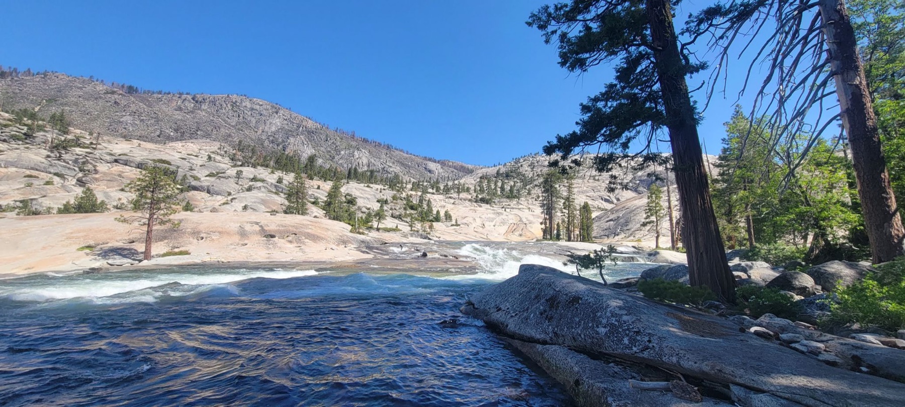
The route traded conventional trail for open slabs, boulder fields, snow patches, and creek-side travel.