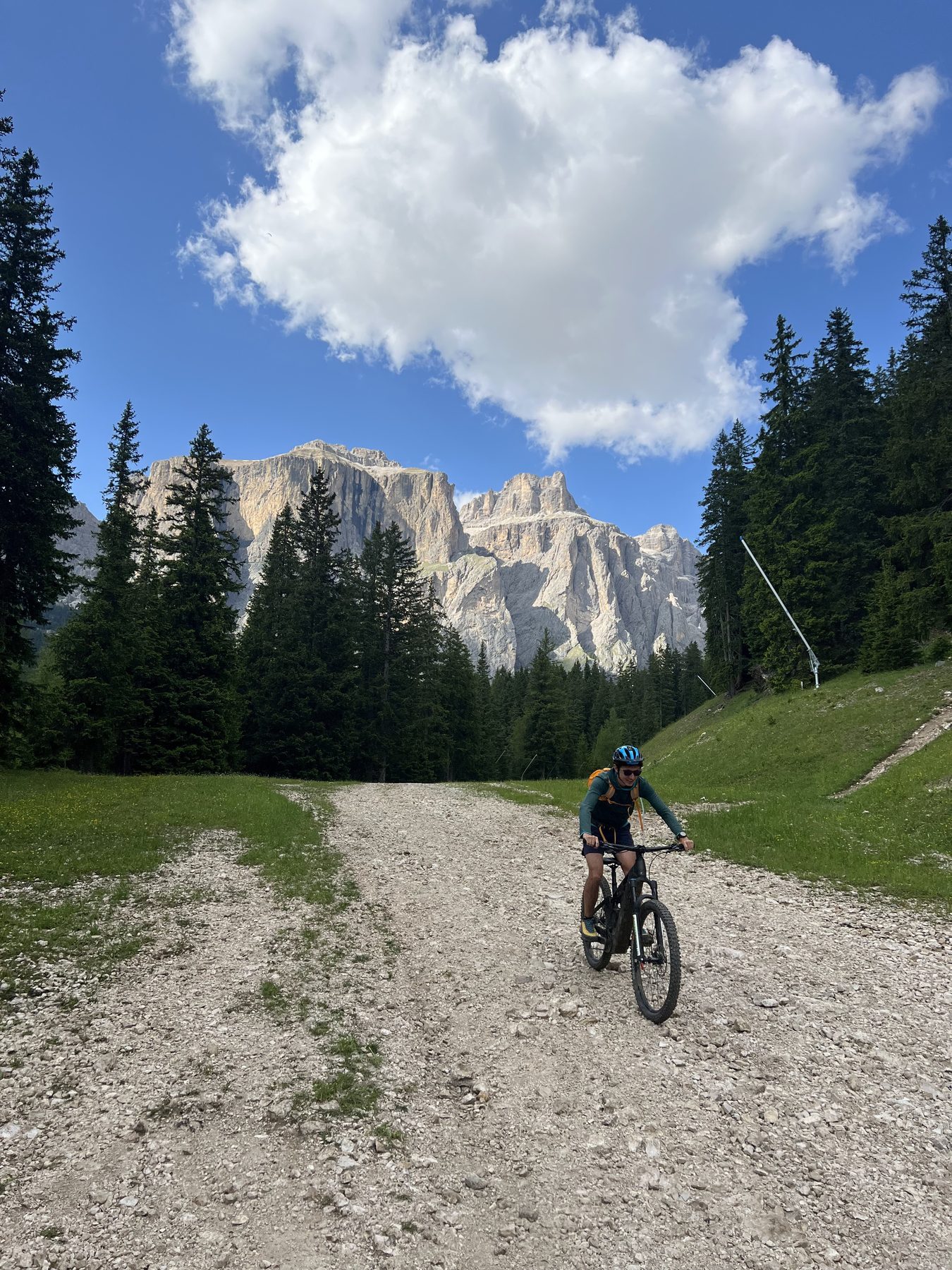
Adventure · June 2025 · Dolomites, Italy
Sellaronda Orange
A clockwise e-mountain-bike loop around the Sella massif, linking four Dolomite valleys with a mix of lifts, high traverses, and long descents. The map follows the complete GPX track through the Italian Dolomites.
The route
The Sella massif in relief
Drag to orbit · Scroll to zoom
Building the terrain from elevation tiles…
Route from the supplied GPX track · Terrain rendered with MapLibre
Field notes
A lap around the Sella
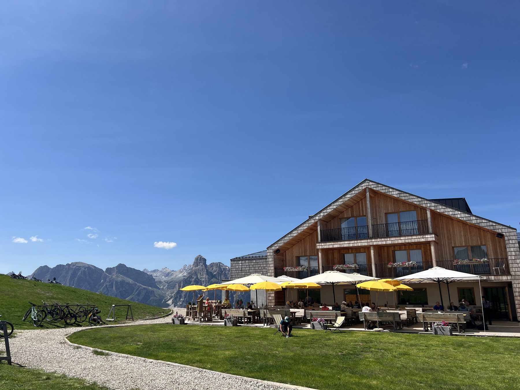
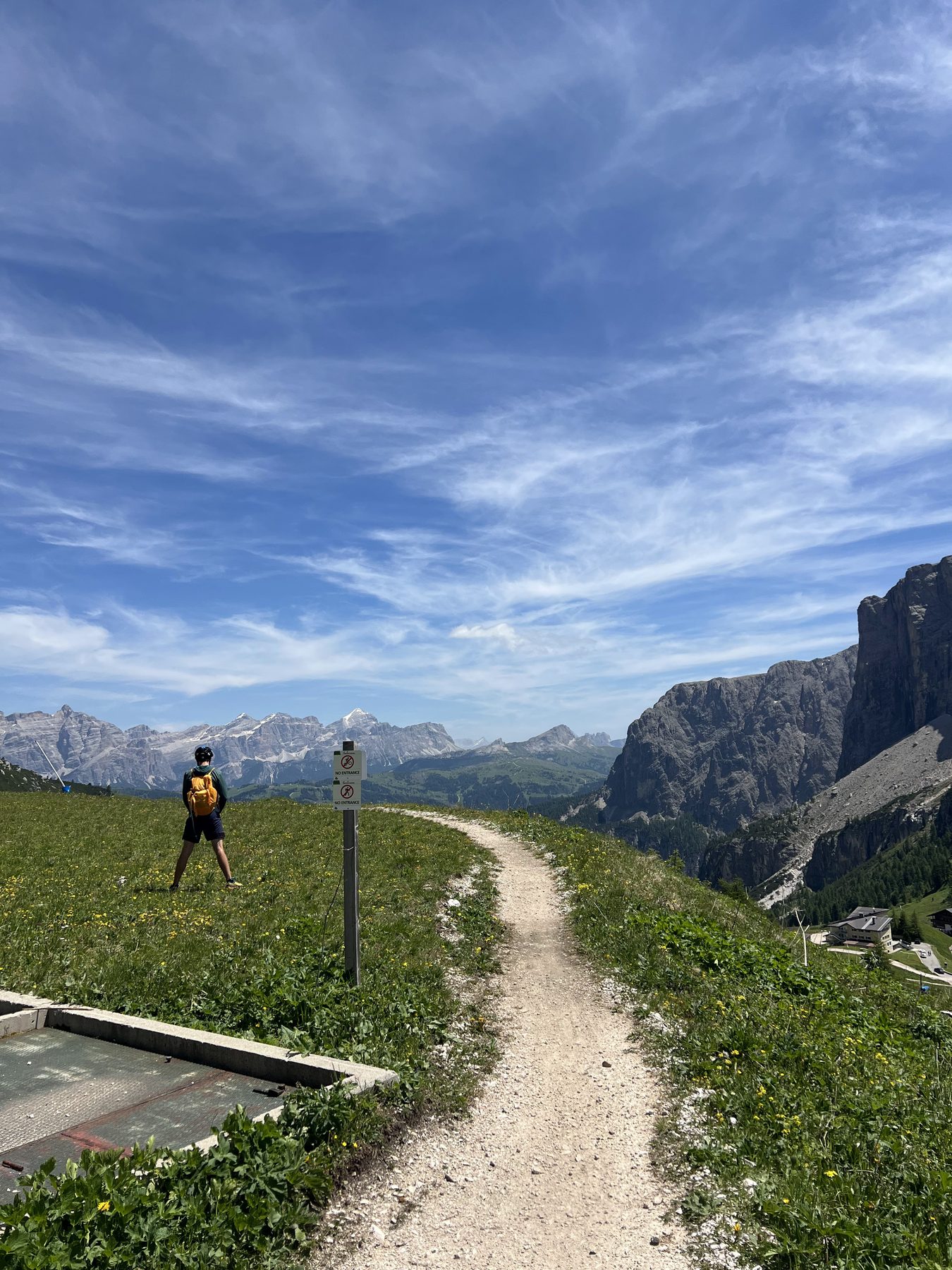
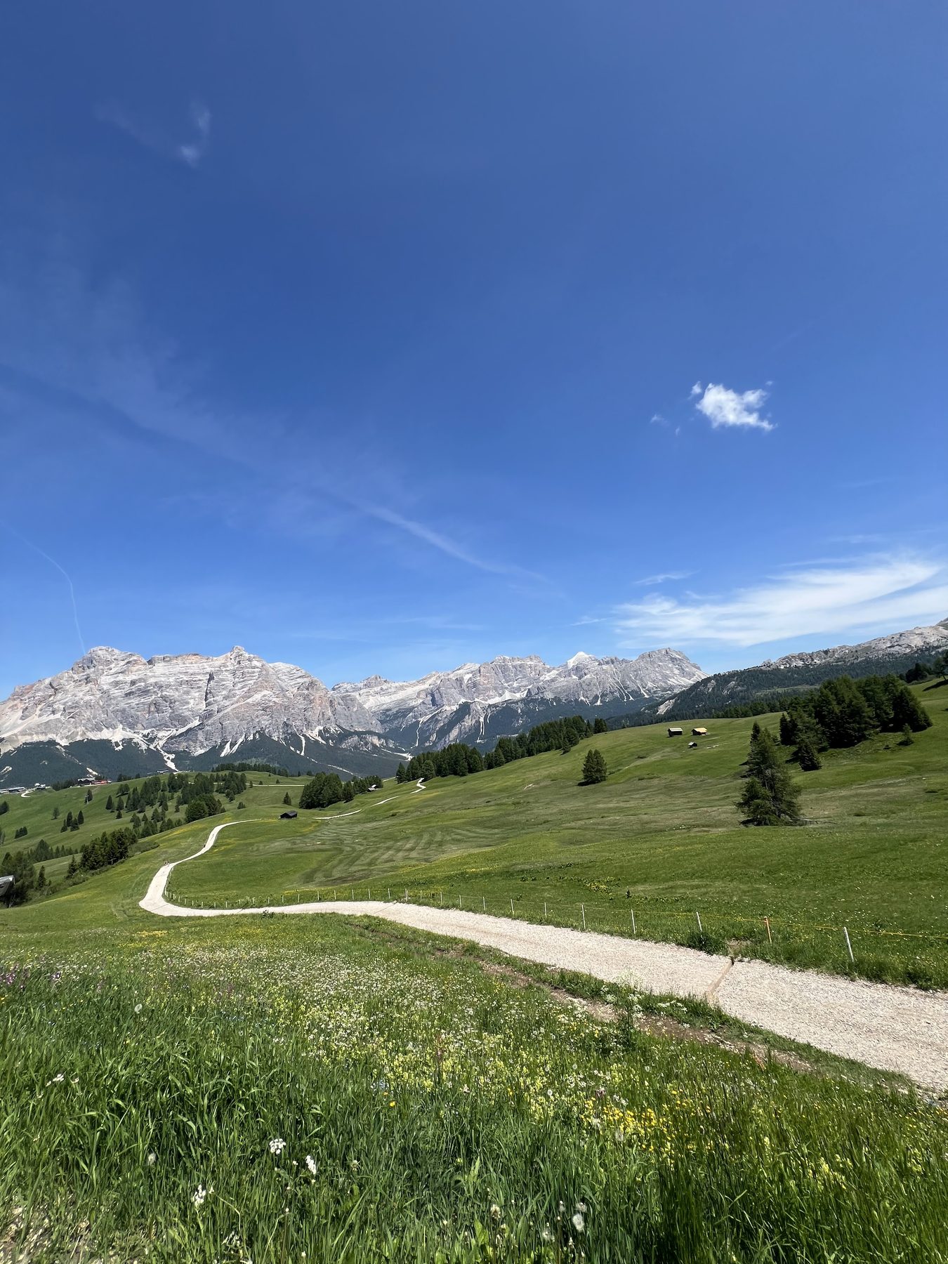
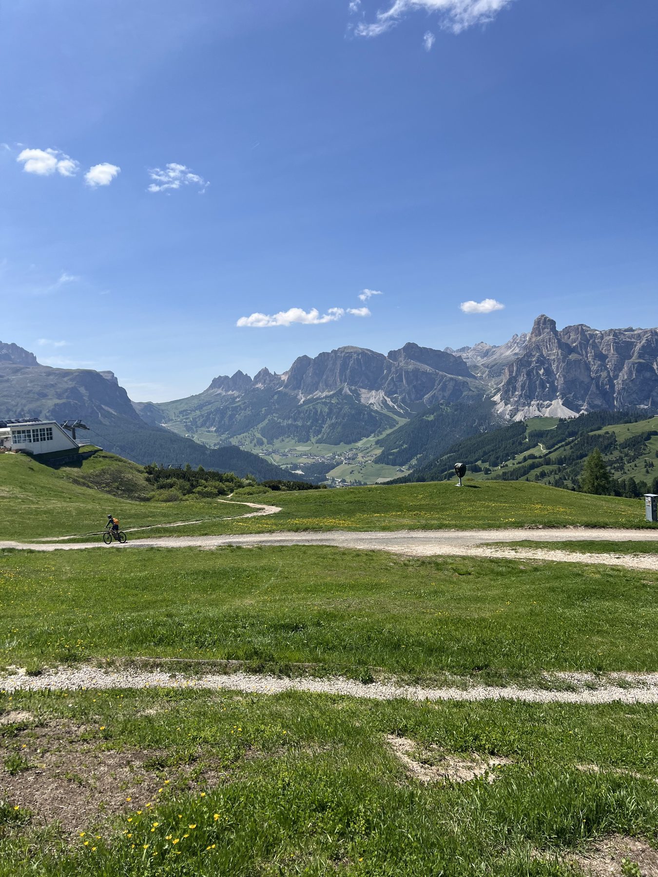
The clockwise line moves between lift-served high points, open meadows, rifugi, and descents beneath the Sella walls.